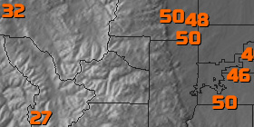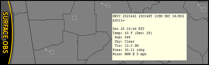
Surface Observations
We have the most comprehensive surface observations plotting anywhere. We have a daily process that identifies new official locations (METAR) and adds them to our feed. In addition, we offer publicly available state and regional Mesonet's, nearshore and offshore Buoy, commercial shipping, Civilian Weather Observer (CWOP) and even some private locations not seen anywhere else. In fact, our observation database is used as one of the reference points for the official national database.
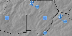
Not only do we have the most surface observations, we have the highest redundancy. We pull from multiple NOAA satellite receivers, FAA AIDAP, EMWIN and if necessary, we'll make Gilbert transcribe them by hand. In fact, he might just do it for fun.